- Follow us:
- Our Commodities:
-
October 2022
| JOHAN VAN DEN BERG, INDEPENDENT AGRICULTURAL METEOROLOGIST |  |
Most of the country received average to above-average rainfall since about 2020. Flooding or water-logged conditions occurred in some areas, causing damage to crops and infrastructure. The very wet conditions since 2020 are in contrast to the severe drought conditions over large parts of the country from about 2014 to 2019.
WHY IS THE CLIMATE SO HIGHLY VARIABLE?
It makes farming in South Africa very difficult – ranging between the extremes of severe drought or very wet conditions for consecutive seasons. The most important factor that is responsible for these fluctuations is the so-called ENSO (El Niño Southern Oscillation), with the two main components of El Niño and La Niña. El Niño is the abnormal warming of the central Pacific Ocean and La Niña the cooling of this area.
It is a very large area in the ocean and if there are more heat energy or less heat energy available, it can change the climate systems overlying this area. Although this happens thousands of kilometres from South Africa, is it responsible for shifts in rainfall patterns not only over South Africa but over the world.
The impact of El Niño over South Africa is usually drier conditions and with a La Niña present, wetter conditions. La Niña conditions started to develop in the spring of 2020, causing favourable rainfall conditions initially over the eastern and central parts of the country but gradually spreading to the western parts.
Although La Niña is favourable for rainfall over the summer rainfall area of South Africa, the impact is not always the same across the country – like for instance in the Eastern Cape, where poor rainfall conditions are still causing severe drought after more than two years of La Niña conditions.
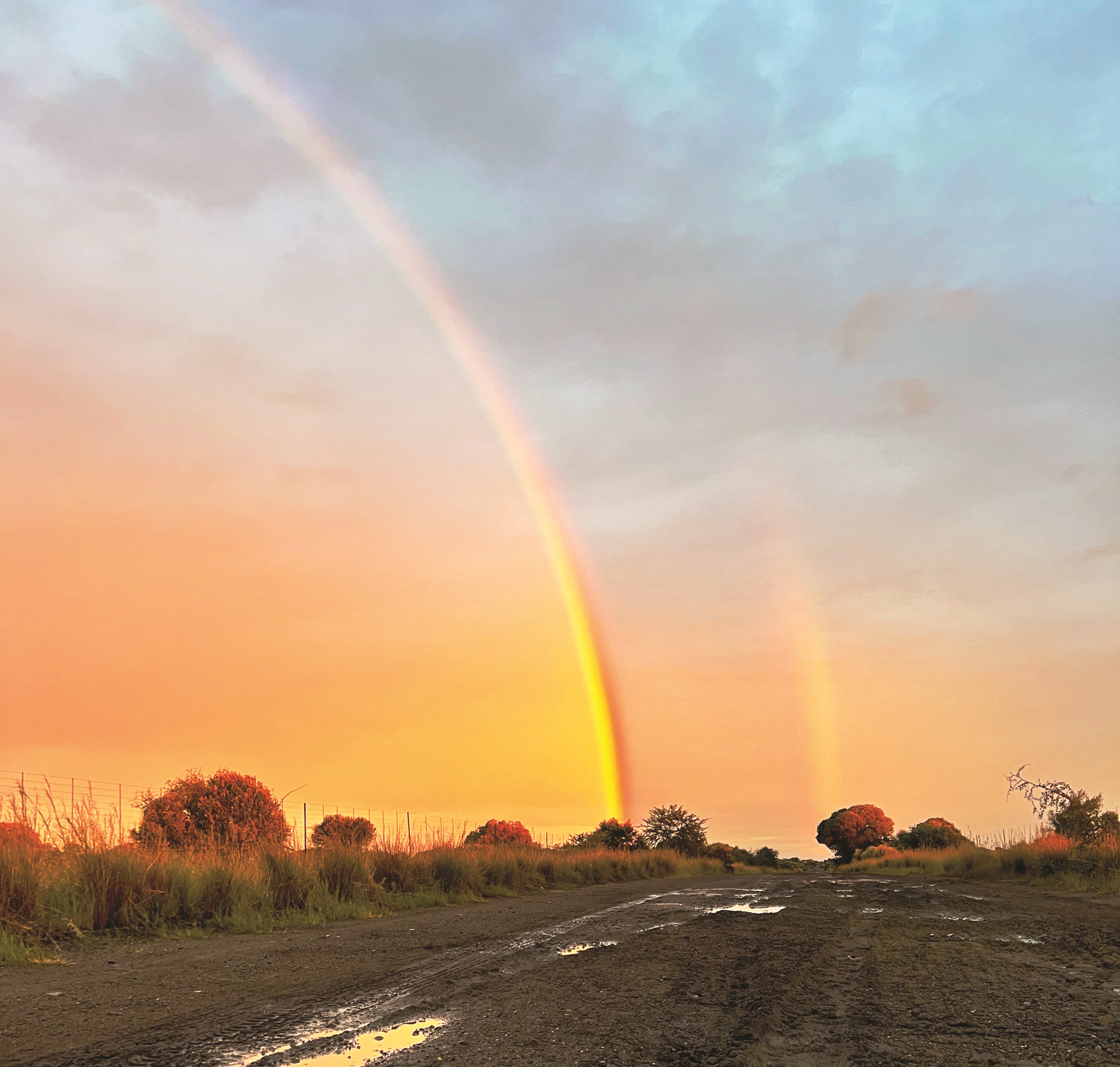
Photo: Dijan de Waal
RAINFALL
What can we expect for the next summer season?
La Niña conditions are still present, and it is expected that it will last until at least the end of 2022 or beginning of 2023. It will only be the third time since 1950 that there will be three consecutive La Niña events, because La Niña events are usually lasting only one season – starting from about September and ending in about March/April.
What does this mean in terms of rainfall for different parts of the country, especially the summer grain areas?
THE EFFECT OF CLIMATE CHANGE
Although global warming is evident, there are also impacts on the rainfall and it can even be responsible for lower temperatures in some areas for specific times of the year.
Higher rainfall amounts in the summer rainfall area are shifting towards the summer months (November to April), at the expense of the winter and spring rainfall (May to October). The percentage of rainfall in the winter and spring decreased for a district such as Wesselsbron in the Free State – from about 25% of the total rainfall from 1970 to 2000, to less than 10% since 2008. This is one of the main reasons why dryland winter wheat production in the Free State is not viable anymore.
The summer rainfall (sum total for November, December and January increased from about 40% of the total annual rainfall (seasonal 1 July to 30 June) from about 1990 to about 50% of the total rainfall currently. This is very significantly favouring summer crop production.
There are also shifts in the last dates of frost in some areas. The last dates increased in the most recent two decades, with between 10 and 30 days later. This means that the average last dates of frost for a district such as Douglas in the Northern Cape shifts from about 10 September before about 2000 to about 7 October currently.
It increased the risk for frost damage on winter wheat in especially the irrigation areas of the Western Free State and Northern Cape to levels that put profitability in jeopardy. It urged crop insurers to cease frost insurance on winter crops or only selectively provide cover in some areas. This is also a severe risk for early planted summer crops and crops such as pecan nuts and grapes.
SUMMARY AND RECOMMENDATIONS
Publication: October 2022
Section: Pula/Imvula