FOCUS
Natural resources andenergy
Special
November 2014
32
Soil erosion inSouthAfrica
– its natureanddistribution
S
oil erosion is a major environmental problem confronting
land and water resources in South Africa. Although soil
erosion isanatural process, it isoftenacceleratedbyhuman
activities, for example by the clearing of vegetation, soil
tillageor overgrazing.
Poor farming practices as well as the trend toward agricultural
intensification have been considered to bemajor causes of erosion.
Soil formation is a relatively slow process and therefore soil is
essentially a non-renewable and a limited resource.
Prolonged erosion causes irreversible soil loss over time, reducing
the ecological (e.g. biomass production) and hydrological functions
(e.g. filtering, infiltration andwater holding capacity) of soil. Several
scientists agree that the cost of food production is increasing in
manyparts of theworlddue to erosion and loss of nutrients.
Soil erosionnot only involves the lossof fertile topsoil and reduction
of soil productivity, but is also coupledwith serious off-site impacts
related to increasedmobilisation of sediment and delivery to rivers,
causing siltation andpollutionof SouthAfrica’swater resource.
Water scarce countries, such as South Africa, are increasingly
threatened by pollution and sedimentation of water bodies due to
suspended sediment concentrations in streams. One of the main
concerns of the Department of Water Affairs of South Africa is the
mobilisation of eroded soil and its delivery to rivers and dams. For
example, due to siltation, the storage capacity of the Welbedacht
Dam near Dewetsdorp in the Free State reduced rapidly from the
original 115 million cubic metres to approximately 16 million cubic
metreswithin 20 years since completion in 1973.
As a result, the Mangaung Municipality in Bloemfontein recently
received water from the more distant Katse Dam in Lesotho at a
tariff of R2,20 per kilolitre instead of the normal 18,7 cents from the
Welbedacht Dam (as reported byMarietjie Gericke in the
Volksblad
on Friday, 29August 2014). The soil erosion/sedimentation problem
may get worse in the future due to population growth and potential
climatic changes. Given the increasing threat of the sedimentation/
siltationof reservoirs, it is important to identify sourceareasand key
processes of sediment transport from field to stream.
Recent erosion assessments sketch a
gloomy picture
Themost recent erosionmap includes agullyerosionmap for South
Africa created by Dr Jay le Roux (previously at the Agricultural
Research Council, but currently at the University of the Free State)
andMr Ndifelani Mararakanye (Department of Agriculture, Forestry
and Fisheries) using satellite imagery.
SPOT 5 satellite imagery was utilised because it provides high
resolution air, photo-like quality for erosion mapping and was
acquired from government agencies for the whole of South Africa.
As a result, the study successfully mapped over 100 000 gully
erosion features ranging from just a few cubic metres to several
hectares each.
JAY LE ROUX,
lecturer: Department of Geography, University of the Free State and
HENDRIKSMITH
, conservation agriculture facilitator, Grain SA
The map shows that all provinces are affected by gully erosion
(see
Figure 1
). The Northern Cape (160 885 ha) and Eastern Cape
(151 759 ha) are the most severely affected, followed by KwaZulu-
Natal (87 522 ha), the Free State (64 674 ha), Limpopo (58 669 ha),
Western Cape (25 403 ha), Mpumalanga (17 420 ha), North West
Province (10 782ha) andGauteng (110ha).
Prior to above-mentioned study, a soil erosion model, known as
the Universal Soil Loss Equation, was used by Dr Le Roux and his
colleagues to estimate rainfall erosion in South Africa. The model
has sufficient simplicity for application on a national scale with
incorporation of the main factors causing soil erosion including
rainfall erosivity, soil erodibility, topography and vegetation cover
(andmanagement).
The results emphasise sheet and rill erosion and illustrate that areas
with high erosion risk occur mostly in the eastern parts of South
Africa (see
Figure 2
).
In this context, the EasternCape (3 860 702 ha) is themost severely
affected province, followed by the Free State (2 153 343 ha),
NorthernCape (1974854ha), Limpopo (1943376ha),KwaZulu-Natal
(1 284 975 ha), Mpumalanga (1 222 727 ha), Western Cape
(1 030 530 ha), North West Province (379 879 ha) and Gauteng
(347 149ha).
In quantitative terms, the average predicted soil loss rate for South
Africa is 12,6 tons/ha/year, while the average soil loss rate under
annual cropland (grain crops) is 13 tons/ha/year, which is much
higher than thenatural soil formation rateof less than5 tons/ha/year.
This simplymeans that we are losingmuchmore soil thanwegain.
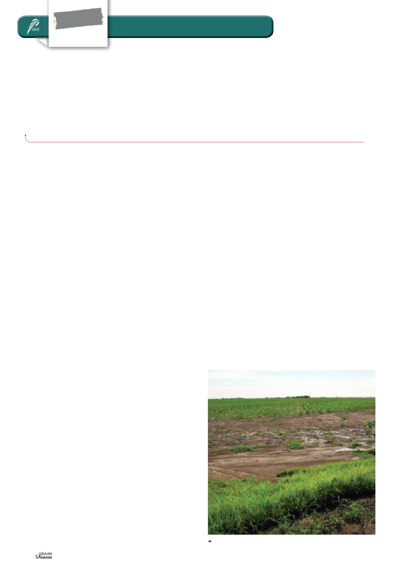
Sheet erosionon theSpringbok flats, LimpopoProvince.


